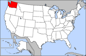
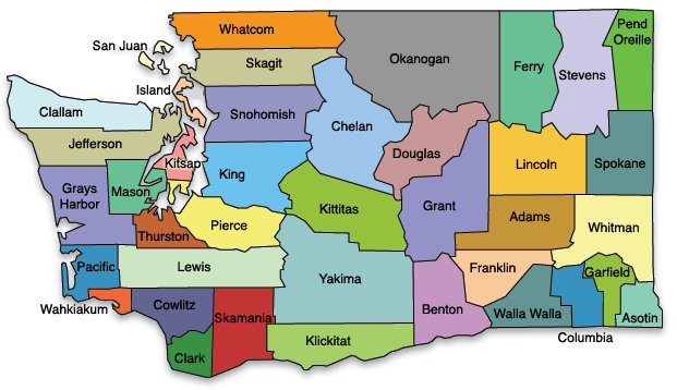
Washington maps

Washington. A state of the northwest United States on the Pacific Ocean. It was admitted as the 42nd state in 1889. Originally explored by Capt. James Cook (1778), Washington was the object of a dispute between England and the United States until 1846, when its northern border was set at the 49th parallel. Washington is noted for its lumber and defense industries. Olympia is the capital and Seattle the largest city. Population: 6,724,540 (July 2014)

State Flower: Coast Rhododendron or Western Rhododendron - State Motto: By and By - State Nickname: Evergreen State - State Bird: Willow Goldfinch

Weather Search countymapsofwashington.com
Custom Search

Advertise Here

Counties:

* Adams
* Asotin
* Benton
* Chelan
* Clallam
* Clark
* Columbia
* Cowlitz
* Douglas
* Ferry
* Franklin
* Garfield
* Grant
* Grays Harbor
* Island
* Jefferson
* King
* Kitsap
* Kittitas
* Klickitat
* Lewis
* Lincoln
* Mason
* Okanogan
* Pacific
* Pend Oreille
* Pierce
* San Juan
* Skagit
* Skamania
* Snohomish
* Spokane
* Stevens
* Thurston
* Wahkiakum
* Walla Walla
* Whatcom
* Whitman
* Yakima
Full color State of Washington county maps, list of cities towns and county seats

Washington state map

washington usa location


Contact Us
Full Color County Maps -